Skip to content

Dholera

Dholera SIR Village List & Map 2026: All 22 Villages — and the Ones Outside the Boundary

Siddharth Patel

Property Owner

Published 26 October 2026 · 11 min read

Dholera SIR Village List & Map 2026: All 22 Villages — and the Ones Outside the Boundary

The Dholera SIR is built from 22 notified villages — not 33, and not the dozens that surround it. Here is the full list, how the boundary is drawn, and how to check any village or survey number yourself.

The short answer: 22 villages, one notified boundary

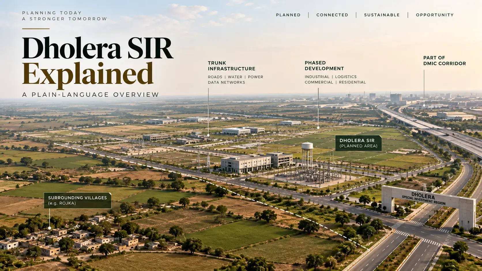
The Dholera Special Investment Region is made up of 22 revenue villages. That is the number the state notified in 2009, and it is the number DICDL still publishes: 22 villages of Dholera taluka, across roughly 920 square kilometres.

The confusion starts immediately after that. Search for a Dholera village list and you will find 22, 33 and sometimes 50 or more. All three numbers can be correct — they are counting different geographies. Only one of them describes the SIR.

This Dholera SIR village list separates them, names the 22 villages, identifies the villages outside the boundary, and shows how to check a specific survey number against the official maps. If you are evaluating a parcel, the checking method matters more than any list.

What 'inside the SIR' actually means

A Special Investment Region is a legal designation, not a marketing boundary. Gujarat's SIR Act allows the state to declare a defined territory and give it a planning authority, a development plan and a coordinated process for land use and infrastructure.

For Dholera, that territory was notified in 2009 and is described through revenue villages. The village is the unit the state uses to locate land. Inside that unit, the parcel is identified by its survey number.

That hierarchy matters because three different things get mixed up in property conversations:

  • The SIR boundary — which planning authority and development rules apply
  • The town planning scheme — whether a parcel has been brought into a TP scheme and given a final plot
  • The survey number — the actual piece of land, with its own title, area and encumbrances

A village name is not a title certificate

A village can be inside the SIR while a particular survey number is not yet part of a town planning scheme. Those are separate facts. A seller who blurs them is not giving you the information you need.

The same applies in reverse. Land outside the SIR can still have clear title, legal access and a valid agricultural use. Being outside is a planning fact, not a verdict on the parcel.

The 22 Dholera SIR villages

The names below follow DSIRDA's own DP Villages Map, which is the cleanest public reference for the boundary. Common spellings from revenue records and older notices are shown alongside, because the same village can appear under two or three spellings across different documents.

The 22 revenue villages of the Dholera SIR, as labelled on DSIRDA's DP Villages Map. 'Part' means the village contributes land to the Activation Area, not that the whole village is developed.
#VillageAlso seen asActivation Area
1AmbaliAmbli—
2BavaliyariBavliyari, Bawaliyari—
3Bhadiyad——
4Bhangadh——
5Bhimtalav—Part
6Cher——
7Dholera—Part
8Gogla——
9Gorasu——
10Hebatpur——
11Kadipur——
12Khun——
13MahadevpuraMahedevpura—
14Mingalpur——
15Mundi—Part
16OtariyaOttariya—
17Panchi——
18RahtalavRahatalavPart
19Sandhida——
20Sangasar——
21Sodhi——
22ZankhiJankhi—
The 22 revenue villages of the Dholera SIR, as labelled on DSIRDA's DP Villages Map. 'Part' means the village contributes land to the Activation Area, not that the whole village is developed.

Reading the table correctly

Two notes on the table. First, 'Part' means the village contributes land to the roughly 22.5 sq km Activation Area; it does not mean the whole village is developed. Second, the spellings vary because revenue records, census tables and planning maps were prepared at different times. If a portal does not recognise 'Ambali', try 'Ambli'.

The official map is worth opening even if you already have the list. It shows the DSIRDA boundary against individual village boundaries, which is the visual answer to the question most buyers are actually asking: which side of the line is this parcel on? Open the DSIRDA DP Villages Map.

How the boundary is drawn — and why the map beats the list

The SIR boundary is not a circle drawn around Dholera town. It follows revenue geography, which is why the shape is irregular and why the village list is the most useful index to it.

Above the village sits the development plan. DSIRDA's planning page describes the SIR at about 920 sq km, with town planning schemes 1 to 6 covering 422 sq km and Phase I covering 153 sq km of TP1 and TP2. The Activation Area, where trunk infrastructure was built first, is about 22.5 sq km.

Read that as a set of nested geographies:

  • SIR: about 920 sq km across 22 villages
  • TP schemes 1–6: about 422 sq km under detailed planning
  • Phase I: about 153 sq km in TP1 and TP2
  • Activation Area: about 22.5 sq km across parts of four villages

Why the area figures differ

A parcel's position in that stack determines what can be built, when, and under whose approval. A village name alone tells you none of it.

The 2009 notification is sometimes quoted at 879.34 sq km, while DICDL's planning page says about 920 sq km. Both figures are official, but they come from different documents and dates. For a buyer, the practical reference is the village list and the map, not the headline area.

The villages outside the boundary

Here is where most village lists stop — and where the useful part begins. The SIR does not cover all of Dholera taluka. The Census 2011 District Handbook counts 33 revenue villages in the taluka (Statement V). Twenty-two are in the SIR. The other eleven are not.

The eleven outside the SIR are:

  • Anandpur
  • Buranpur
  • Dhanala
  • Gamph
  • Kamatalav
  • Kamiyala
  • Kasindra
  • Navagam
  • Pipli
  • Shela
  • Valinda

Navagam, the airport and the line that matters

Navagam is the clearest example of why the distinction matters. The Dholera International Airport is being built near Navagam, which is in Dholera taluka but not one of the 22 SIR villages. A major project can sit next to the boundary without being inside it. The same is true of land.

Beyond the taluka, the wider ring includes Dhandhuka taluka, where Rojka is located, and villages in Barwala taluka. Those areas are outside the SIR too. They are not outside the region, and they are not outside the development story — but they are outside the notified boundary, and that changes which planning rules apply.

This website's property is in Rojka, in Dhandhuka taluka, just outside the SIR. We publish that plainly because a village list is only useful if it is applied honestly — including to the land we are selling. The boundary page sets out what outside status does and does not mean.

Why you also see 33, 50 and 100

Three numbers dominate the search results, and each has a different basis.

  • 22 — the notified SIR villages. This is the number that matters for the boundary.
  • 33 — the revenue villages in Dholera taluka as an administrative unit. It is the 22 plus 11 villages outside the SIR.
  • 50, 100 or more — a loose count of villages in the wider region, often across Dhandhuka and Barwala talukas. There is no single official list behind these numbers.

Why the number needs a label

The test is simple: ask what the number is counting. A list of 'Dholera villages' that does not say whether it means the SIR, the taluka or the district is not a boundary document. It is a directory.

This is not a pedantic distinction. A buyer who believes a parcel is inside the SIR when it is in one of the eleven outside villages may be pricing in planning permissions, infrastructure or resale assumptions that do not apply. The gap between SIR and taluka is exactly where that mistake happens.

There is a second layer of confusion. Older notifications and revenue records describe some of these villages under Dhandhuka or Barwala taluka, while DICDL today describes all 22 as villages of Dholera taluka. The Census handbook records that Dholera taluka was formed from Dhandhuka and Barvala (Botad), so older documents place the same villages in different talukas. That is why the village name, not the taluka label, is the stable identifier.

How to check a village or survey number yourself

The list is a starting point. Here is the sequence we would run on any parcel in the region.

  • Step 1: Pull the 7/12 and 8-A. Open AnyROR, choose Ahmedabad district, then Dholera or Dhandhuka taluka, the village and the survey number. The 7/12 shows the holder and encumbrances; the 8-A shows the holding account.
  • Step 2: Match the village to the official map. Check the name against the 22-village table above and the DSIRDA DP Villages Map. If the village is not on the map, the parcel is outside the SIR — whatever the brochure says.
  • Step 3: Check the TP position. If the village is inside the SIR, find out whether the survey number falls in a notified TP scheme and whether a final plot has been assigned. DICDL publishes the scheme maps.
  • Step 4: Check the jantri rate. Gujarat's jantri portal publishes the government rate for the village and land type. It is a stamp-duty reference, not a market price.
  • Step 5: Check RERA for a project. If you are buying into a plotted development rather than a bare parcel, search the project on GUJRERA. A registration number either exists or it does not.
  • Step 6: Verify the mutation and the chain of title. Registration of a sale deed and mutation of the revenue record are separate steps. Confirm the mutation has been certified, and have your own lawyer read the chain.

The practical follow-up

The scam-alert guide goes deeper on each check, including the red flags that should end a conversation.

One practical note: the village name on a portal may be spelled differently from the name on the map. If AnyROR does not return a result, try the variants in the table before concluding that the record does not exist.

What the village list does not tell you

A village list answers one question: which side of the notified boundary is this village on? It does not answer the questions that decide whether a parcel is a good purchase.

  • Who owns it, and whether the title is clear
  • Whether the land is agricultural or has a valid NA order
  • Whether the parcel is in a TP scheme, and whether a final plot has been allotted
  • Whether there is legal access, and what the approach road is like
  • Whether any part is under acquisition, encumbrance or dispute
  • What the actual price is, as opposed to the asking price
  • How far it really is from the airport, the expressway or the fab — measured, not claimed

Rojka, and why we publish this list

Those are parcel-level facts. They come from records, a site visit and independent advice — not from a village name. The buyer checklist sets out the order we would use.

The property this site represents is in Rojka, a village in Dhandhuka taluka. Rojka is not one of the 22 SIR villages. It sits just outside the boundary, on the Dholera–Dhandhuka side of the region.

That is not a disclaimer added at the end. It is the reason this article exists. Most Dholera village lists are written to make a parcel feel closer to the project than it is. A list is only useful if it can be applied against the seller's own land, and we are willing to apply it against ours.

If you are evaluating a parcel in Rojka or elsewhere in Dhandhuka taluka, the Rojka village page and the circle-rate explainer cover the local detail. If you are evaluating land inside the SIR, start with the official map and the TP scheme, not a broker's list.

Frequently Asked Questions

The questions buyers ask most often when they compare a village list with a specific parcel.

How many villages are in Dholera SIR?

The Dholera SIR covers 22 notified revenue villages. DICDL describes them as 22 villages of Dholera taluka across roughly 920 sq km. The 2009 notification describes an area of about 879.34 sq km.

What are the 22 Dholera SIR villages?

Ambali, Bavaliyari, Bhadiyad, Bhangadh, Bhimtalav, Cher, Dholera, Gogla, Gorasu, Hebatpur, Kadipur, Khun, Mahadevpura, Mingalpur, Mundi, Otariya, Panchi, Rahtalav, Sandhida, Sangasar, Sodhi and Zankhi. The official DP Villages Map uses these spellings; revenue records sometimes use Ambli, Bavliyari, Ottariya, Rahatalav or Jankhi.

Is Rojka village inside Dholera SIR?

No. Rojka is in Dhandhuka taluka, outside the 22 SIR villages. The property represented on this site is in Rojka, just outside the SIR boundary.

Is Navagam inside Dholera SIR?

No. Navagam is one of the 33 revenue villages in Dholera taluka, but it is not one of the 22 SIR villages. The Dholera International Airport is being built near Navagam, which is a good example of a major project sitting outside the SIR boundary.

Which villages are in the Dholera Activation Area?

Parts of four villages — Bhimtalav, Dholera, Mundi and Rahtalav — make up the roughly 22.5 sq km Activation Area. The rest of those villages is not automatically part of the activation zone.

Why do some websites say there are 33 villages in Dholera?

Because they are counting revenue villages in Dholera taluka, not villages in the SIR. The taluka has 33 villages: the 22 inside the SIR plus 11 outside it. Both numbers are correct for different geographies.

Does buying land in a SIR village guarantee approval to build?

No. Being inside the SIR means the area is subject to the SIR's planning framework. It does not replace title verification, land classification, NA permission or TP scheme approval. Check the specific survey number and the applicable scheme.

How can I confirm whether a survey number is inside the SIR?

Start with the 7/12 and 8-A on AnyROR, match the village against DSIRDA's 22-village DP map, then check whether the survey number falls within a notified TP scheme. For a plotted project, also check GUJRERA. A lawyer should review the title before any payment.

Is the Dholera SIR 879 sq km or 920 sq km?

Both figures appear in official material. The 2009 notification describes about 879.34 sq km; DICDL's current planning page describes about 920 sq km across the 22 villages. They come from different documents and dates. For a buyer, the village list and map are the practical reference.

Keep Reading

All Articles
CallWhatsAppSite Visit